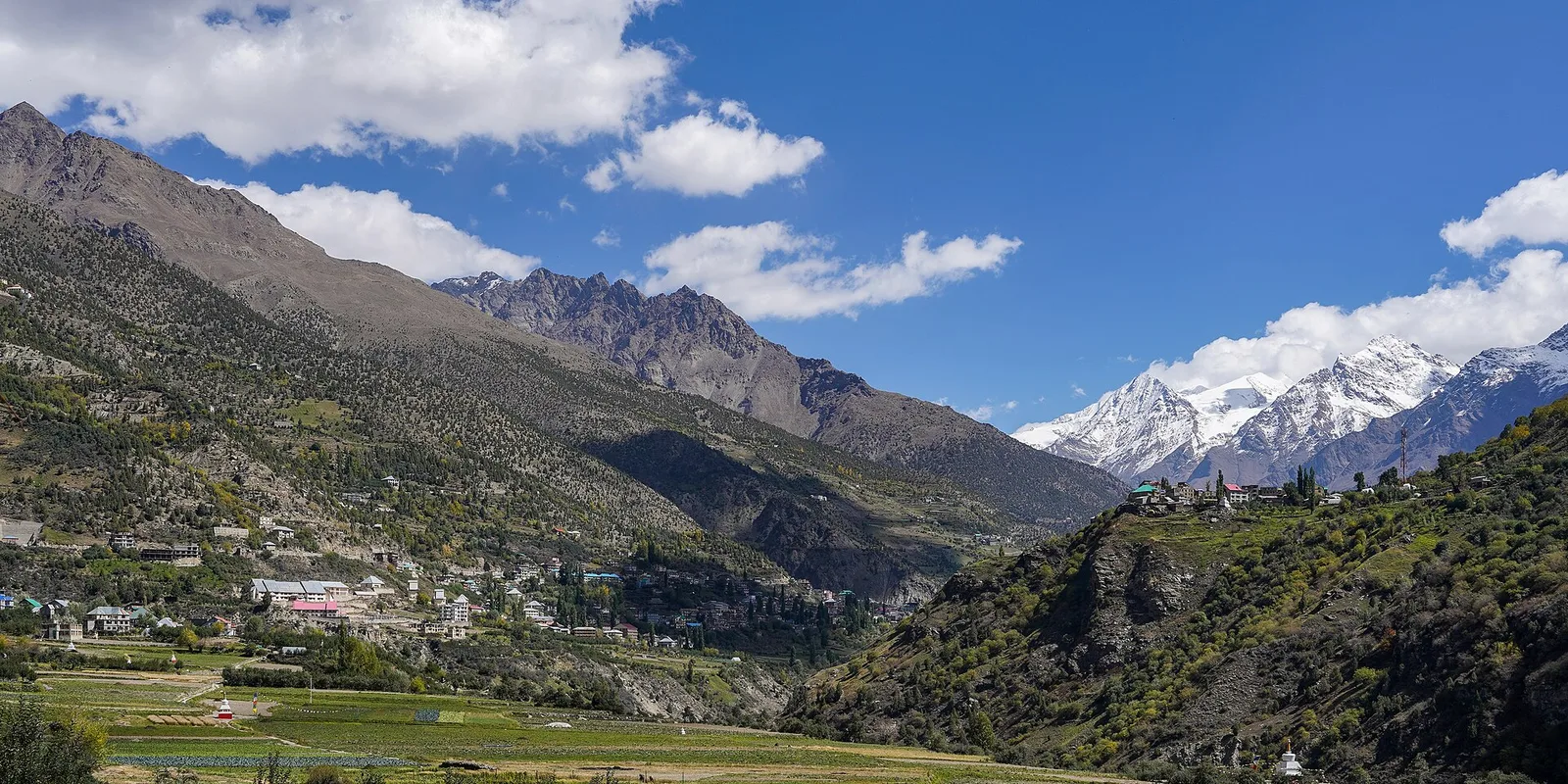
Tosh sits at roughly 2,400 metres at the far end of the Parvati Valley in Himachal Pradesh, about 20 km beyond Kasol. It is the last village on the road. The valley narrows here, the pine forest closes in, and the only sounds are the river below and the occasional bus horn from Barshaini. For solo travellers and small groups who find Kasol too busy, Tosh is the natural next stop.
Kheerganga is the meadow above Tosh at about 2,950 metres, reached by a day's trek. Its draw is a natural hot spring pool next to a small Shiva shrine, with the Parvati valley falling away below. Most people combine the two: a night or two in Tosh, one night in a tent or basic hut at Kheerganga, then back down.
In this guide
How to reach ToshThe Kheerganga trekBest time to goWhere to stay and eatNearby villages worth a walkPractical notesHow to reach Tosh
The road ends at Barshaini, the last motorable point in the valley. From there Tosh is a 3 km climb by a narrow road; taxis run it, and walking takes under an hour.
- By air: Bhuntar (Kullu-Manali airport) is the nearest airport, about 50 km from Barshaini. Flights are few and weather-dependent, so most people arrive by road.
- By bus: Overnight Volvo and HRTC buses from Delhi reach Bhuntar in 12 to 14 hours. From Bhuntar, local buses and shared taxis go to Kasol and on to Barshaini, roughly two hours.
- By train: The nearest broad-gauge station is Chandigarh, followed by a 7 to 8 hour road journey. Joginder Nagar and Pathankot are alternatives but add time.
The Kheerganga trek
The trek starts at Barshaini, not Tosh, and is about 12 km one way through Nakthan village and the Rudra Nag waterfall. Count on 4 to 6 hours up and 3 to 4 down. The trail is well marked and does not need a guide in good weather, but it gets slippery after rain and is closed by snow for parts of the winter. Carry water, a warm layer for the night, and cash; there is nothing to buy beyond tea and Maggi on the way.
Best time to go
March to June is the most comfortable window: clear skies, cold nights, and the trail fully open. September to November is the other good season, with the sharpest views after the monsoon. Avoid July and August, when the Parvati Valley gets heavy rain and landslides can close the road at Manikaran. In December to February Tosh itself stays reachable and gets snow, but the Kheerganga trail is often closed; check locally before setting out.
Where to stay and eat
Tosh has guesthouses and homestays rather than hotels. Rooms are simple, many with valley-facing balconies, and prices are low outside peak weekends. Kheerganga has tents and basic wooden huts run seasonally; carry a sleeping bag if you have one. The cafes in Tosh serve Israeli and Himachali food, and the usual pancakes and momos; sit outside for the view of the peaks across the valley.
Nearby villages worth a walk
From Tosh you can walk to Kalga and Pulga, two quieter villages across the river with apple orchards and a small fairy forest of deodar. Kutla is a 3 km climb above Tosh with a handful of cafes and open meadows. All three make easy half-day walks and are a good way to acclimatise before Kheerganga.
Practical notes
- Mobile network is patchy beyond Kasol. Download maps and tell someone your plan before the trek.
- ATMs exist in Kasol and Manikaran but not in Tosh or on the trek. Carry cash.
- The Manikaran gurudwara on the way serves langar and has hot springs; it is a good stop on the return.
- Respect the village: no loud music at night, and no litter on the trail. Locals are generous, and the valley depends on that goodwill.
Frequently asked questions
How far is Tosh from Kasol?
About 20 km by road to Barshaini, then 3 km up to Tosh. Shared taxis from Kasol take around an hour.
How long is the Kheerganga trek?
About 12 km one way from Barshaini, typically 4 to 6 hours up and 3 to 4 hours down.
Is Kheerganga open in winter?
Often not. Snow closes the trail for stretches between December and February. Tosh itself stays open.